Pattern Recognition for Field Strength Prediction


Related research topics and publications
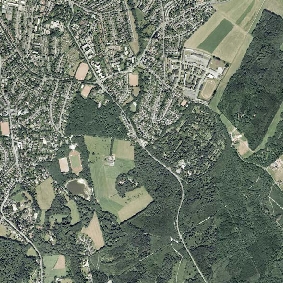
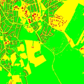
- M. Neunerdt, A. Engels, R. Mathar, Land Use Classification as a Key Component for Path Loss Prediction in Rural Areas, Proceedings: 7th International Symposium on Wireless Communication Systems (IEEE ISWCS), York, United Kingdom, September 2010.
- A. Engels, M. Reyer, R. Mathar, A Direction-Specific Land Use Based Path Loss Model for Suburban/Rural Areas, Proceedings: IEEE AP-S/URSI International Symposium 2010, Toronto, Ontario, Canada, July 2010.
Related projects
Related student work
- Master thesis Landnutzungserkennung in Satellitenbildern mittels automatischer Klassifikationsverfahren zur Anwendung im Mobilfunk
Contact
For further information contact Melanie Neunerdt.
***
Aktuelle Informationen gemäß Art. 13 DS-GVO:
Datenschutzhinweis ***
Impressum ***

